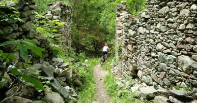
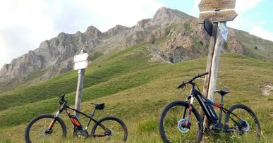
M6 Percorso del Valun
Departure/arrival location: Festiona (Centro Fondo)
Difficulty:Climb: MC Descent: BC+ Exposure: E2
Length: 30.6 km
Drop + : 790 mt
Departure altitude: 715 m asl.
Maximum altitude: 1379 m asl.
Terrain type: 60% Gravel 10 % Trail 30% asphalt
Type of route: Ring route, passing through Demonte, Borgata Cornaletto Sottano, Borgata Perosa Soprana, Borgata Vanet, Borgata Simunas, Borgata San Maurizio, Borgata Poracchia, Madonna del Pino, Demonte, Borgata Fontan and Ospedalieri.
Cartography: Fraternali Map 1: 25000 MTB \ E-Bike Valle Stura di Demonte
Description
From the square in front of Centro Fondo Festiona, we take the route on the paved road called “Ex Militare” towards Demonte\Vinadio, at the crossroads for Demonte\Vinadio, we continue towards Demonte, always going straight. At the end of the houses, continue towards Cornaletto Sottano on a gravel track and shortly before reaching the hamlet, we cross the paved road that will lead us to Perosa Sottana. From there, uphill towards Borgata Vanet and follow Case Simunas, Borgata San Maurizio, Borgata Poracchia. From here, the road descends towards Kant river where we will have to cross the water to climb up the hill on a gravel trail that, after an ascent, will lead downhill coasting the Madonna del Pino chapel, and from here we go downhill arriving behind an hospital facility called “Ex-Ospedale”. From here we go toward Perdioni, crossing the state road and following the road to the bridge over Stura River, we cross the latter, from Borgata Fontan we cycle for returning on “Ex-Militare” road on the left until we arrive back to Festiona at Centro Fondo .
Alternatively, the route can be started and ended in Demonte, starting from in front of the Tourist Office following the signs for Perosa Sottana, and returning, after “Ex-Ospedale”facility we do not turn toward Perdioni but continue straight to Piazza Renzo Spada in Demonte.
All the paths are frequented by hikers on foot, pay attention especially on descents: THE PEDESTRIAN ALWAYS HAS THE RIGHT OF WAY.
Download Trail: M6 Percorso del Valun (External Link)


