A1 FORTE DI NEGHINO
- Departure/arrival location: Vinadio / Vinadio
- Difficulty: Climb: MC, Descent: BC Exposure: E3
- Length: 8.3 km
- Drop: 346 m.
- Departure altitude: 891 m asl.
- Maximum altitude: 1237 m asl.
- Terrain type: 30% asphalt, 70% gravel, approx.
- Type of route: ring route passing through Neghino’s battery, a fortification of king Carlo Alberto age, with a characteristic elliptical section.
- Cartography: Fraternali Map 1:25000 MTB\E-Bike Valle Stura di Demonte
Description
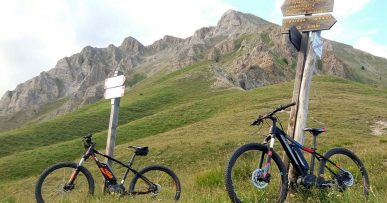
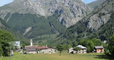
The route starts with a short and steep climb on asphalt. Following the signs indicating A1, we start on a gravel road with a slightly uneven ground and with a regular slope which, after numerous bends, takes us to the Forte di Neghino (1237meters), a jewel of military architecture, relatively small and elliptical in section. The view over the valley and the narrow valleys of Neraissa and S.Anna is very beautiful. (fountain). The route continues north with a stretch of path that is firstly flat and easy but then becomes more demanding with a compact and regular terrain but strong exposure at times and a steep slope and narrow path. For the less experienced cyclists it is advisable to return on the same route as the outward trip. After the bridge, first on a gravel road with compact terrain and then on a paved road, we return to Vinadio. At the end of the gravel road, the better trained cyclists can connect to the A2 and A3 routes that lead to Colle di Neraissa and Monte Autes. .Along the route we find red marks that reflect the symbols of the signpost, i.e. the triangle with two circles, which can help you find your way.
All the paths are frequented by hikers on foot, pay attention especially on descents: THE PEDESTRIAN ALWAYS HAS THE RIGHT OF WAY.


