A23 Le Borgate
- Departure/arrival location: Sambuco
- Difficulty: Climb: BC+ Descent: BC+ Exposure: E3
- Length: 26 km
- Drop + : 950 m
- Departure altitude: 1185 m asl
- Maximum altitude: 1597 m asl
- Terrain type: 40% gravel 45 % trail 15% asphalt
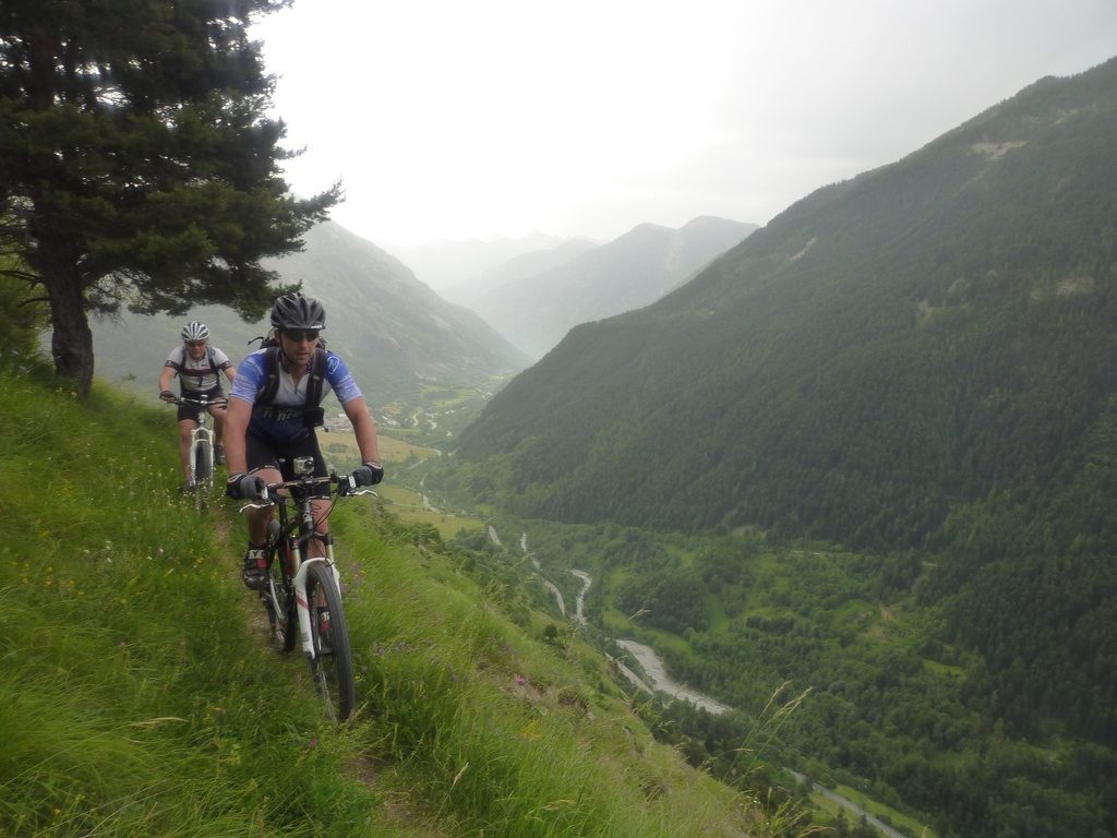
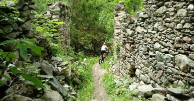
- Type of route: Ring route that touches some interesting villages (Serre Bianco, Moriglione S. Lorenzo, Pontebernardo) and uses the trail “Lou Viage” (a stage hiking ring in the Stura Valley) . It takes place for the most part on a balcony path on the Valley facing south. It requires good technique because the track is narrow and sometimes exposed.
- Cartography: Fraternali Map 1:25000 MTB \ E-Bike Valle Stura di Demonte
Description
From Piazza del Municipio in Sambuco we go up the southern slope of the Stura Valley with a steep gravel road and a fairly uneven terrain up to the hamlet of Serre Bianco (1418 meters above sea level fontana).
From here with a compact and easy path we reach the hamlet of Moriglione di Fondo and then through easy gravel track to the hamlet of Moriglione S.Lorenzo (1435 meters above sea level), which is very sunny and has a beautiful view of the Stura Valley. We take a very narrow path on the left uphill initially very irregular and exposed, but very panoramic being a balcony on the Valley. We are on the “Lou Viage” trail. Then a continuous and narrow up-and-down path with a compact and fast terrain starts and quickly lose altitude up to the intersection with a gravel road upstream of the hamlet of Castello (we do not even arrive in view of this village!). Now we cycle steeply uphill with a slightly bumpy terrain, with two very hard ramps, in a meadow area. We tackle the descent on a path with a compact and easy terrain alternated by some fun hairpin bends with uneven and irregular ground. This will lead to the town of Pontebernardo (1280 meters above sea level).
We climb on asphalt to the Borgenz di Murenz (1570 meters above sea level), the view on the rocky walls Barricate is amazing, then we descend with an esay gravel road to the hamlet of Prinardo (1464 meters above sea level).From here we cross the Stura river, we follow the State Road 21 towards the valley and shortly afterwards we take the GTA trail (Great Crossing of the Alps) uphill on the left. Almost immediately we go downhill on a slightly irregular ground then much more easy, we go outside the tunnel named Barricate, we cross the Stura river (in Spring with abundant water this may be a problem) and then we arrive in the village of Pontebernardo.
We now pass on the opposite side of the valley, crossing the Stura river near the sports field and with a forest road on the right of the river we reach Pietraporzio village, we return again by gravel road, and asphalt in the last part, to Sambuco. Particularly suitable for those who love having fun on fast trails.
All the paths are frequented by hikers on foot, pay attention especially on descents: THE PEDESTRIAN ALWAYS HAS THE RIGHT OF WAY.
Download Trail: A23 Le Borgate (External Link)
Gallery


