A24 Tour del Bersaio
- Departure/arrival location: Sambuco
- Difficulty: Climb: BC+ Descent: OC Exposure: E3
- Length: 30 km
- Drop + : 1350 m
- Departure altitude: 1185 m asl
- Maximum altitude: 2454 m
- Terrain type: 70% gravel/military road 30% trail
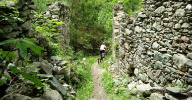
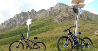
- Type of route: High mountain ring route with breathtaking views. The climb, all on gravel with very steep slopes and uneven ground, touches the locality “Pilone” with a balcony overlooking the valley, Gias Vallonetto, Colle Salas Blancias with magnificent views of the Rocca la Meja. Interesting military road that leads west to the Gardetta plateau and east to the Bandia barracks, from where the descent begins, in the Vallone della Madonna on gravel at times bumpy up to Gias Mure and then on irregular and uneven expert trail down to Sambuco village.
- Cartography: Fraternali Map 1:25000 MTB \ E-Bike Valle Stura di Demonte.
Description
From Piazza del Municipio in Sambuco we cycle uphill taking the steep Via Moriglione street. Leaving the village behind you, we up a steep gravel road with a fairly rough terrain to See Bianco township and, after a short descent on a sliding path, we go up on a mule track and compact gravel road to the sunny hamlet of Moriglione S.Lorenzo (1435 meters above sea level).From here we continue uphill on a cart track with moderate slopes and a fairly compact terrain up to the place “Pilone” (1913 m asl,) from which we have a nice glance on Monte Bersaio and the Stura Valley with the Maritime Alps in the background .We now continue the climb with much more sustained slopes and at times very uneven ground, we pass through Gias Vallonetto area (2083 meters above sea level, fundamental water supply), Colle Guia and then we arrive, with some challenging hairpin bends, to the Colle di Salsas Blancias (2454 meters above sea level).Descending, the view of Rocca la Meja peak is grandiose. We go down a little and we arrive on the famous military road Gardetta which crosses the plateau of the same name in about 14 km and is of great interest from a nature and history point of view. We continue towards west in ups and downs on an irregular terrain up to Bandia barracks (2408 meters above sea level).From here, we take the Vallone della Madonna downhill along the GTA trail (Great Crossing of the Alps) and on a fast gravel road, but with a bumpy terrain, we reach Gias Mure area (1845 meters above sea level). Now the most beautiful and enjoyable part of the descent begins on a technical path with numerous stony hairpin bends and more easy parts, exposed for a short distance. In many situations, the terrain is uneven and irregular and requires excellent skills. Return directly to Sambuco. Fun is guaranteed.
All the paths are frequented by hikers on foot, pay attention especially on descents: THE PEDESTRIAN ALWAYS HAS THE RIGHT OF WAY.


