A29 Colle Stau
- Departure/arrival location: Pietraporzio
- Difficulty: Climb: OC+ Descent: OC+ Exposure: E3
- Length: 30 km
- Drop + :1550 m
- Departure altitude: 1225 m asl
- Maximum altitude: 2498 m asl
- Terrain type: 80% Gravel/Trail 20% Asphalt
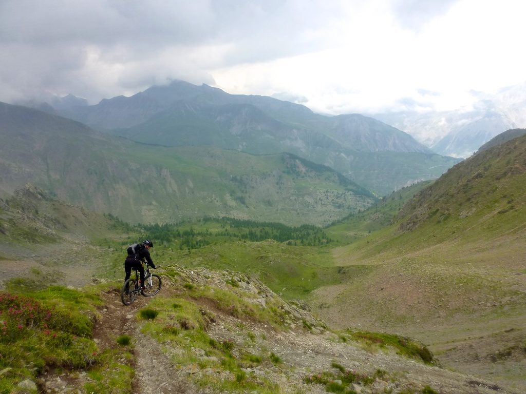
- Type of route: High mountain ring route that largely uses the paths “Lou Viage” and “GTA, Great Crossing of the Alps”. We pass through the suggestive plateau “Prati del Vallone”, then to Colle di Stau pass (2498 m asl) and we meet the small village of Ferrere. It is recommended for very eexperienced bikers.
Cartography: Fraternali Map 1:25000 MTB \ E-Bike Valle Stura di Demonte
Description
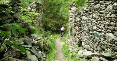
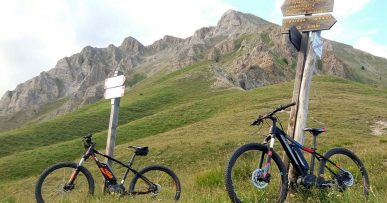
From Piazza della Chiesa in Pietraporzio on a compact forest track we reach the asphalt that gradually climbs Vallone di Pontebernardo and leads to the suggestive gravel plateau “Prati del Vallone” (1720 meters above sea level and important water supply) where a Refuge with the same name is located and where we can take a rest. From here, a very selective ascent begins on a very bumpy mule track up to Gias di Stau (2068 meters above sea level).We now go up a very rough and uneven steep path so as to have to proceed by foot in many stretches until we get to Colle di Stau (2498 meters above sea level), we can reach these wild and panoramic places thanks to the cyclopean military works as evidenced by the countless bunkers and barracks scattered in the mountains. We are on the GTA (Grande Travarsata dlle Alpi) track. Descent on a narrow, steep, very bumpy and uneven path with some difficult hairpins and passages to be taken on foot. We cross Rio di Forneris on a bridge, we go up a short stretch on foot to intersect the path that with compact ground and regular descent brings us to the sunny Ferrere village (1888 meters above sea level) that is special because of its position and architecture. Here we can rest at the Becchi Rossi Refuge. From here, with a rough path, we go down to meet the gravel road that runs alongside Rio Ferrere up to Villaggio Primavera and then through the meadow area we reach the hamlet of Prinardo (1464 meters above sea level).Now we go up on a steep, but fairly compact, cart track to Borgata Murenz (1570 meters above sea level) with a magnificent view of the imposing rocky walls named “Barricate”.We return to Pietraporzio first downhill on asphalt, then on an easy forest road.
All the paths are frequented by hikers on foot, pay attention especially on descents: THE PEDESTRIAN ALWAYS HAS THE RIGHT OF WAY.
Download Trail: A29 Colle Stau (External Link)
Gallery


