A30 Becchi Rossi
- Departure/arrival location: Pontebernardo
- Difficulty: Climb: OC+ Descent: OC Exposure: E3
- Length: 25 km
- Drop + : 1270 m
- Departure altitude: 1280 m asl
- Maximum altitude: 2235 m asl
- Terrain type: 20% Gravel 50% Trail/Mule track 30% Asphalt
- Type of route: high mountain ring route that mostly uses the trails: GTA (Great Crossing of the Alps) and “Lou Viage”. It also passes through the small village of Ferrere situated in a lovely location. Descent for expert bikers.
- Cartography: Fraternali Map 1:25000 MTB \ E-Bike Valle Stura di Demonte
DESCRIPTION
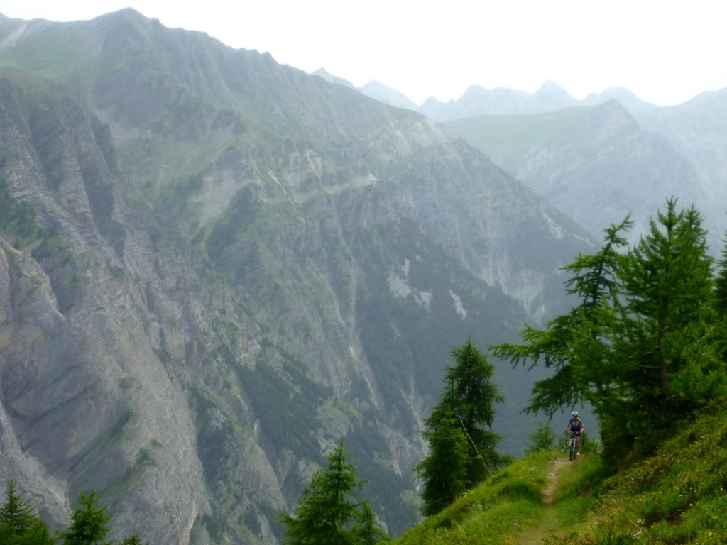
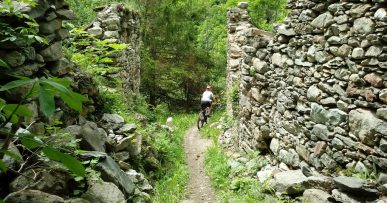
From Pontebernardo village center we cross the State Road 21 and on easy asphalt road we reach Frazione Murenz (1570 meters above sea level) from where we can enjoy a superb view of the imposing rocky walls called “Barricate”. After a short stretch of gravel road, we take a mule track on the left which is part of the GTA (Great Crossing of the Alps) trail. The climb initially is on a sliding surface and it is not too steep, but quickly becomes very steep, with a rough and uneven terrain and has numerous uphill hairpins that are difficult to cycle; for the most part, the route is covered walking the bike. We are at the balcony on the imposing rocky walls nemed “Barricate”. We arrive thus to Colletta Becco Rosso (2235 meters above sea level). If we have a light we can enter the numerous military tunnels and bunkers present in this area. We then descend on a narrow path with an irregular terrain, there is a difficult water crossing (abundant in water) arriving at an uneven and irregular traversing with a steep ascent to be covered by foot, after which we cross Rio Forneris with a small bridge. There is a short ascent by foot where we will find a path with compact terrain leading, downhill, to the wonderful Ferrere hamlet (1888 meters above sea level) where we can rest at the Becchi Rossi Refuge. From here we ride uphill on a paved road. Shortly after the start of the descent we leave this road by taking the bumpy gravel road on the right that leads to some villas and then on asphalt to the houses of Villaggio Primavera (1484 meters above sea level). Going along and crossing Rio Ferrere on a footbridge we reach Borgata Prinardo (1464 meters above sea level).After a short stretch of State Road 21, we take the GTA trail which takes us back to Pontebernardo with a smooth and fun route (the water crossing on Stura River is difficult with abundance of water).
All the paths are frequented by hikers on foot, pay attention especially on descents: THE PEDESTRIAN ALWAYS HAS THE RIGHT OF WAY.
Download Trail: A30 Becchi Rossi (External Link)
Gallery


