A5 RIFUGIO MALINVERN
- Departure/arrival location: Pratolungo/Pratolungo
- Difficulty: Climb: MC Descent: MC EXPOSURE: E1
- Length: 21.8 km.
- Drop: 925 m.
- Departure altitude: 914 m asl.
- Maximum altitude: 1839 m asl.
- Terrain type: 65% asphalt, 35% gravel, approx.
- Type of route: round trip via Puà and Riofreddo dam.
- Cartography: Fraternali Map 1:25000 MTB\E-Bike Valle Stura di Demonte
Description
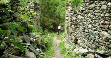
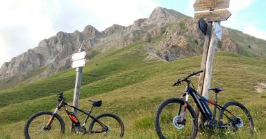
We start in Pratolungo (914 meters) on asphalt road with demanding slopes, except for short stretches, up to Riofreddo dam (1220 meters) then the road becoming more regular. From the fountain, the last 3.8 kms begin on gravel road with a slightly uneven ground with constant slopes that, in the last stretch, reaches peaks of 13-14%. The landscape in which we ride is spectacular, unspoiled and wild. Along the route we find red marks that reflect the symbols of the signpost, i.e. the triangle with two circles, which can help you find your way.
All the paths are frequented by hikers on foot, pay attention especially on descents: THE PEDESTRIAN ALWAYS HAS THE RIGHT OF WAY.


