A6 COLLE DELLA LOMBARDA
- Departure/arrival location: Colle Lombarda crossroad/ Colle Lombarda crossroad
- Difficulty: Climb: BC+ Descent: OC Exposure: E3
- Drop: 574 m.
- Length: 15.7 km
- Departure altitude: 1835 m asl.
- Maximum altitude: 2351 m asl.
- Terrain type: 15% asphalt, 85% gravel, approx.
- Type of route: ring route passing by Colle della Lombarda, Colle di S. Anna lake, Sanctuary of S.Anna.
- Cartography: Fraternali Map 1:25000 MTB\E-Bike Valle Stura di Demonte
DESCRIPTION
The departure is just after the crossroads for Colle della Lombarda at an altitude of 1835 meters, near Luigi fountain. We take the old military road on the left that takes us to the col with the same name (2368 meters). From here, we turn right onto a gravel road. Here, a panoramic continuous up and down is completely rideable along the great watershed between France and Italy and passing under Testa Gias del Ciaval area and Cima Moravaccera peak.
https://www.traditionrolex.com/30
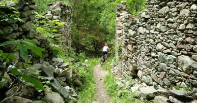
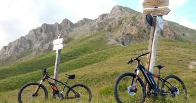
From here, the nose dive descent on Sanctuary of S. Anna begins, the highest sanctuary in Europe that can be seen from far away. The path is very technical and stony, requiring sometimes to get off the bike. The path leads to Lake Colle di Sant’Anna (2155 meters) and intersects a military road. We follow it on asphalt downhill until we reach the Sanctuary of S. Anna (2010 meters Fountain) and the starting point. Along the route we find red marks that reflect the symbols of the signpost, i.e. the triangle with two circles, which can help you find your way.
All the paths are frequented by hikers on foot, pay attention especially on descents: THE PEDESTRIAN ALWAYS HAS THE RIGHT OF WAY.


