A7 RIFUGIO MIGLIORERO
Departure/arrival location: Bagni di Vinadio / Bagni di Vinadio
Difficulty: Climb: MC+ Descent: BC+ Exposure: E1
Drop: 894 m.
Length: 17.6 km.
Departure altitude: 1200 m asl.
Maximum altitude: 2094 m asl.
Terrain type: 20% asphalt, 80% gravel ca.
Type of route: round trip passing through Borgata Besmorello
Cartography: Fraternali Map 1:25000 MTB\E-Bike Valle Stura di Demonte
Description
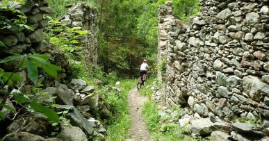
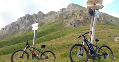
The departure is at Bagni di Vinadio, but for the more trained riders, A7 route is already marked from Vinadio (891 meters), passing by the lake of Vinadio, Pratolungo (914 meters), Roviera (903 meters), Pianche ( 968 meters), all on asphalt with little slope, while the last kilometers are more demanding. The departure from Bagni di Vinadio (1292 meters) is on asphalt towards Besmorello, then we cycke on a road that becomes gravel with irregular terrain up to the Refuge. The climb takes us to the beautiful Pisciai waterfall. We continue up to the Refuge that is placed on a spur of rock, and offers a magnificent view of the two lower lakes called dell’Ischiator. The return is on the same route as the outward trip. Along the route we find red marks that reflect the symbols of the signpost, i.e. the triangle with two circles, which can help you find your way.
All the paths are frequented by hikers on foot, pay attention especially on descents: THE PEDESTRIAN ALWAYS HAS THE RIGHT OF WAY.
Download Trail: A7 Rifugio Migliorero (External Link)
Gallery


