A8 Lago di san Bernolfo
- Departure/arrival location: Bagni di Vinadio / Bagni di Vinadio
- Difficulty: Climb: MC+ Descent: BC+ Exposure: E1
- Length: 16 km
- Drop: 742 m.
- Departure altitude: 1200 m asl
- Maximum altitude: 1927 m asl.
- Terrain type: 50% asphalt, 50% military road
- Type of route: round trip passing through Strepeis, S. Bernolfo, Laos refuge, Calieri.
- Cartography: Fraternali Map 1:25000 N.13 Alta Valle Stura MTB map
Description
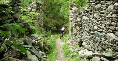
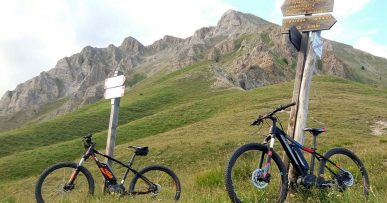
We start in Bagni di Vinadio (1292 meters) on a paved road with a regular slope up to S.Bernolfo (1663 meters), a characteristic alpine village. From there we continue on a military road towardsLaus Alexandris Foches Refuge, with a rather uneven terrain and with constant slopes, up to Làus hill, where the basin of Lake S.Bernolfo opens (1912 meters), with a splendid view of both the lake and Collalunga narrow valley. A short descent lead us to destination. The return is made on the path of the climb up to a crossroads before the bridge that leads back to S.Bernolfo, then keeping, the right side of the lake, to the hamlet of Callieri (1442 meters) and continuing up to Bagni di Vinadio. Along the route we find red marks that reflect the symbols of the signpost, i.e. the triangle with two circles, which can help you find your way.
All the paths are frequented by hikers on foot, pay attention especially on descents: THE PEDESTRIAN ALWAYS HAS THE RIGHT OF WAY.


