B2 – Pertus del Colet
- Departure/arrival location: Vignolo
- Difficulty: Climb: medium / high
- Length: 15 km
- Drop + : 650 m
- Departure altitude: 570 m asl
- Maximum altitude: 1032 m asl
- Terrain type: 90% Gravel – 10% asphalt
- Type of route: Ring route, round trip, suitable for expert bikers
- Cartography: Fraternali Map 1:25000 MTB\E-Bike Valle Stura di Demonte
Description
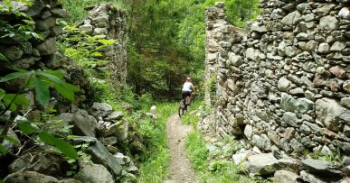
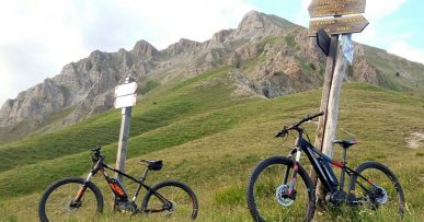
From Piazza Grande di Vignolo we continue towards the Church of San Giovanni Battista and, following the signs, we turn right towards San Michele, then Aranzone where there is a fountain with a picnic area. Continue towards Prato Francia and then Pertus del Colet. From Pertus del Colet, we turn left towards Prato Gaudino, continuing towards Tetto Cannone and then we tackle a short and narrow – single track stretch up to Tetto Giordano. Turn right and technical descent towards San Martino. Arrival at the starting point. Alternatively, in Tetto Giordano, turn left towards San Costanzo and continue the technical descent to get to the same starting point. Along the route we find red marks that reflect the symbols of the signpost, i.e. the triangle with two circles, which can help you find your way.
All the paths are frequented by hikers on foot, pay attention especially on descents: THE PEDESTRIAN ALWAYS HAS THE RIGHT OF WAY.


